Did you know Leeds’ fastest-growing districts mix dense city cores with family-friendly pockets and green space within a few miles? In 2026, you’ll find the best areas balance transit access, affordability, and local services across city centre, Headingley, Roundhay, Beeston, and Burley. You’ll see how bike lanes, schools, and parks shape safer, more inclusive living. There’s more to weigh than vibe or price—consider how housing type and commute fit your priorities as you plan your move.
Leeds Living 2026: How to Choose Your Neighborhood
Choosing a neighborhood in Leeds in 2026 means weighing housing costs, commute times, and local services against personal priorities like schools, green space, and nightlife. You’ll compare property price trends, rental yields, and council-supported housing schemes across LS districts to forecast total ownership costs over a decade.
Data show distinct trade-offs: inner suburbs offer higher neighborhood amenities and more frequent bus corridors, while outer zones deliver budget-friendly homes and expanding green space.
Council planning documents emphasize transit reliability, flood resilience, and school performance by area, guiding your selection.
Community engagement metrics—participation rates, residents’ associations, and local forums—reveal social cohesion levels that affect long-term satisfaction. Use these indicators to target districts with robust services, accessible nature, and active civic life.
City Centre Pulses: What City Living Gets You
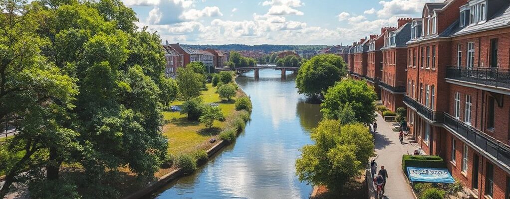
City centre living puts you at the heart of Leeds’ transit network, cultural calendar, and employment clusters. You gain high-frequency bus and tram access, reduced commute times, and proximity to core business districts, supported by data-driven planning that prioritizes pedestrian safety and congestion management.
In this zone, housing mix prioritizes compact flats and serviced apartments to maximize turnover and affordability within urban renewal zones. You’ll experience urban nightlife and daytime commerce within a short walk, supported by policy measures that incentivize mixed-use development and short-term lettings where appropriate.
Cultural festivals anchor city rhythms, with venues clustered near transit nodes to optimize access and reduce car reliance. This sense of place aligns housing demand with public investment in infrastructure, creating resilient, transit-oriented city living.
West End Wins: Headingley for Students, Families, and Commuters
Headingley stands out for students, families, and commuters alike, driven by a multi-modal transport spine, affordable housing options, and targeted local services that support daily routines. You’ll notice urban renewal patterns shaping new student accommodations, mixed-tenure housing, and improved cycling corridors that reduce car dependence.
Policy emphasis centers on inclusive zoning and affordable rent bands that align with Leeds’ earnings benchmarks, reducing displacement risk while supporting diverse households. Cultural diversity informs service delivery, with community hubs, libraries, and night-time economy policies designed to sustain safe, accessible access to education, healthcare, and recreation.
Data show strong demand from UP to tertiary campuses, with appreciable walkability to core facilities. Headingley’s approach integrates infrastructure, sustainability metrics, and resident-facing programs that deliver tangible, equitable outcomes.
Suburban Calm: Roundhay, Gledhill, and Green Space Access
Roundhay, Gledhill, and nearby green spaces exemplify suburban calm through accessible park networks and lower-density housing that supports predictable daily routines.
You’ll notice a strong linkage between garden proximity and daily life, with private outdoor space enhancing weekend pacing and weekday decompression.
Data show lower traffic volumes and shorter commutes, supported by well-maintained footpaths connecting residential blocks to parks and schools.
Policy emphasis centers on preserving green belts while enabling phased growth, ensuring that local amenities—grocery outlets, clinics, and community centers—remain within a 15-minute walk or bike ride.
This mix promotes retention of long-term residents and steady demand for family housing.
Region-specific trends highlight Roundhay’s mature neighborhoods, consistent with Leeds-wide suburban resilience strategies and public domain investments.
Beeston and Burley: Quiet Corners Close to Action
Beeston and Burley offer a balance of quiet residential corners and immediate access to the city’s core activity, with low-rise streets and village-like hubs that keep daily life calm while staying within easy reach of central Leeds.
In this district, housing mix supports stable demographics and walkable access to services, aligning with Leeds City Council growth plans that favor mixed-use corridors.
Data shows solid bus and cycle links to the city center, plus affordable options relative to other inner-London-adjacent markets.
Local café favorites anchor daytime footfall, while small markets sustain weekday commerce.
Hidden park gems provide micro-recreational value without expanding travel times.
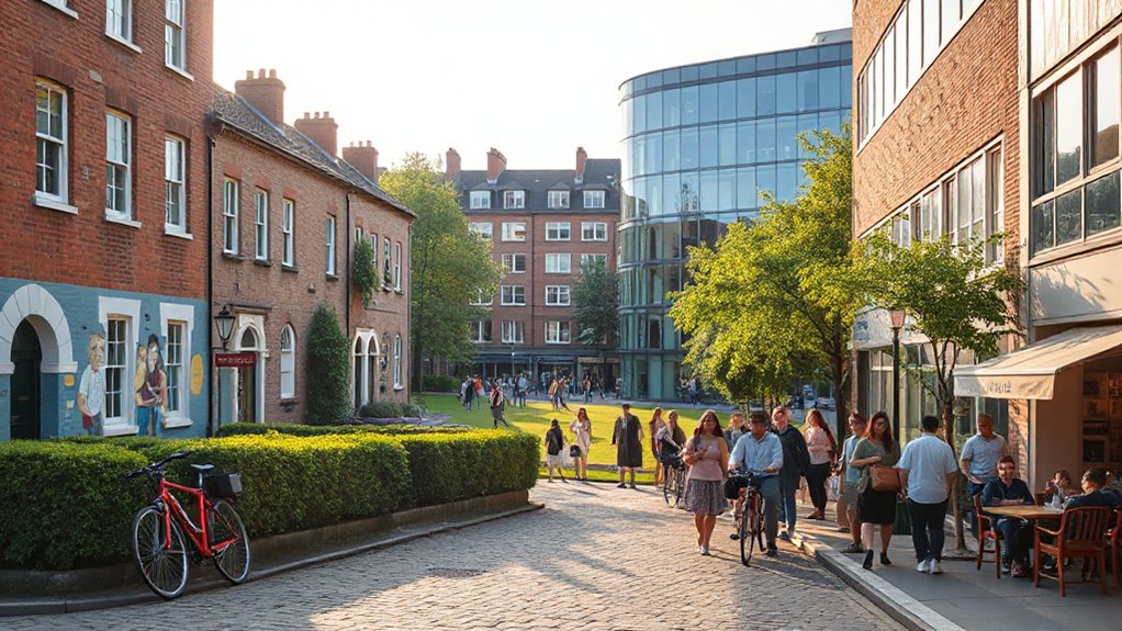
Chapel Allerton: Boutique Vibe in a Village-Feel Quarter
Chapel Allerton offers a boutique vibe within a village-feel quarter that blends independent retailers, craft cafés, and village-scale streets with strong walkability to core Leeds amenities. You’ll find a tight retail mix anchored by local operators, supporting small-business resilience and ecosystem diversity.
Data shows high pedestrian density, with linear footfall along Harrogate Road and Stainbeck Lane, reinforcing policy aims for compact, mixed-use cores.
The area delivers measurable social value through accessible services, community hubs, and resident-led events, aligning with Leeds’ town-centre-first growth strategy while preserving neighbourhood distinctiveness.
Village charm and boutique shopping are interwoven with transport links, cycling routes, and parkland access, supporting equitable access for residents outside peak corridors and reinforcing a sustainable, heritage-informed development trajectory.
Holbeck and the South Bank: Regeneration and Nightlife Dynamics

Holbeck and the South Bank show a clear pattern of regeneration-linked housing growth and improved transit access. This framing provides a data-informed view of where nightlife can thrive alongside housing demand.
Riverfront arts and Eats offerings are expanding as the area attracts investment and footfall. This growth is shaping policy considerations around cultural-led regeneration.
Nightlife And Regeneration Tone
The regeneration of Holbeck and the South Bank is reshaping nightlife dynamics by pairing cultural renewal with stricter licensing, clearer safety metrics, and targeted investment in late-night transport and policing. You’ll see a shift toward balanced nightlife culture, where venues align hours with pedestrian safety data and incident reporting informs licensing reviews.
Regeneration projects emphasize mixed-use districts, enabling daytime draw and evening crowd management without erasing character. Data shows mixed outcomes: reduced crime in key corridors, but transient footfall spikes near venues that require targeted policing and street-lighting upgrades.
Policy focus centers on equitable access to late-night transit, measurable safety benchmarks, and engagement with residents. In sum, Holbeck and South Bank invite controlled vibrancy that sustains cultural importance while preserving livability.
Riverfront Arts And Eats
You’ll see a concentrated cluster of venues along the riverfront, enabling walkable access from nearby wards while reducing car reliance through targeted bus priority and pedestrian upgrades.
Riverfront dining blends with night-time economy strategies to extend hours without compromising safety, aided by live-data dashboards monitoring crowd flow, incident rates, and licensing compliance.
Arts festivals anchor seasonal footfall, diversify programming, and attract regional visitors, while cross-sector partnerships align affordable workspace, housing, and hospitality.
The result: a measurable uplift in activity, investment, and perceived liveability within Leeds’ evolving riverfront corridor.
Housing And Transit Growth
Policy levers include affordable options, demand-led zoning, and phased public environment upgrades that support safer night-time economies. Transit investments prioritize frequent tram and bus services, enhanced last-mile connectivity, and accessible stations within 10 minutes of key employment nodes.
The growth pattern respects historical neighborhoods, preserving heritage lanes while enabling modern services. Data show declines in vacancy where night-life clusters and ground-floor retail support local employment.
For residents, governance emphasizes transparency, monitoring, and collaborative delivery with housing associations and local businesses.
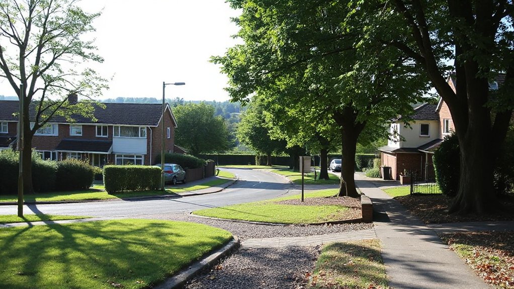
Abbeydale and Pudsey: Space, Schools, and Family Life
Abbeydale and Pudsey offer abundant space for families, with larger homes and quieter streets that reduce commute stress while keeping essential amenities within reach. You’ll notice density falls compared with inner Leeds, supporting longer-term family budgeting and predictable daily routines.
Data show lower average commute times to business hubs and good access to major transport links, reinforcing stability for work-from-home and hybrid roles.
Local school rankings rise in recent years, supported by targeted funding and catchment improvements, while school-to-home travel remains feasible for most households.
Family friendly parks and green space-per-capita metrics point to enhanced weekend recreation without sacrificing urban convenience.
Policy emphasis here prioritizes safeguarding space while expanding affordable housing options for growing households, aligning regional growth targets with family life quality.
Cross Gates and Seacroft: Value, Space, and Growing Stock
Cross Gates and Seacroft offer affordable value with growing space, as evidenced by improving stock turnover and a steady influx of family- and first-time buyer buyers.
You’ll notice a rising stock mix including mid-market terraces and semi-detached homes, with completions clustered toward outer cul-de-sacs and affordable pockets. Data show stable rental yields and a low mismatch between demand and listings, supporting sustained affordability.
Local policy emphasizes regenerating housing while maintaining affordability, targeting long-term affordability metrics and energy efficiency upgrades.
Family-friendly amenities, parks, and access to primary schools help sustain demand from families and first-time buyers.
In regional terms, Cross Gates and Seacroft provide budget-conscious options within reasonable commutes to central Leeds, aligning with stated housing-need projections and district growth plans.
Headingley vs Hyde Park: Campus Life Meets Local Flavor
Headingley and Hyde Park sit at the intersection of student demand, renting stability, and cultural vibrancy, with data showing strong occupancy rates and steady turnover in both areas.
You’ll find a clear split in campus life: Leeds Beckett and university programs anchor demand in Headingley, while Hyde Park benefits from proximity to campuses and more affordable options.
Occupancy remains high year-round, yet turnover is steady, signaling durable rental yields for investors and predictable costs for residents.
Campus culture drives daytime amenities, student-run spaces, and affordable dining, while local cuisine shapes weekend routines.
Policy-wise, targeted housing standards and contract transparency help balance supply with demand.
Consider density, transport access, and nightlife regulations to maximize convenience while preserving neighborhood character.
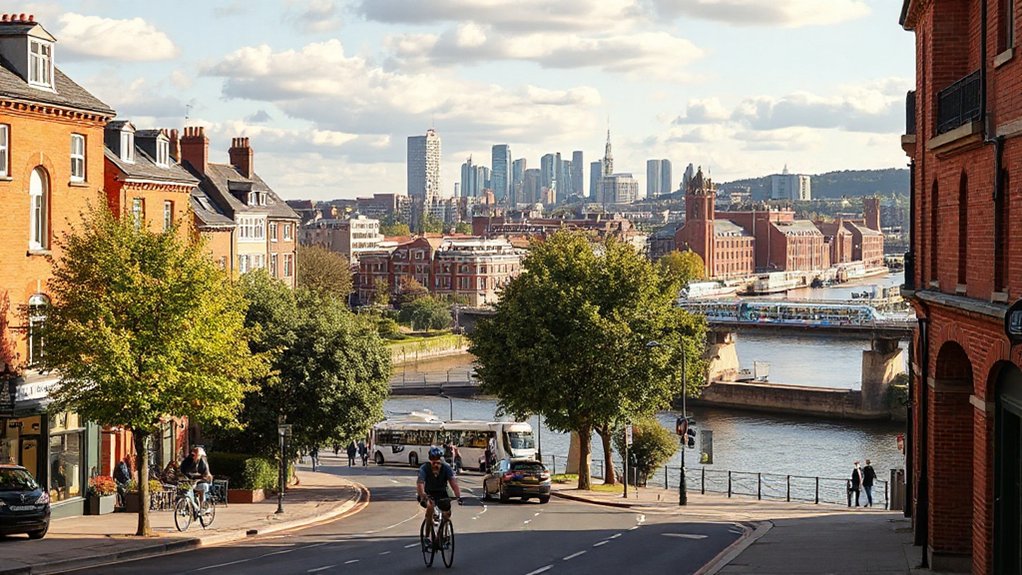
Transport Ties: Getting Around Leeds With Ease
Leeds’ public transit network, including bus and rail links, shapes daily commuting costs and access to major employment hubs. We’ll compare timetable reliability, fare structures, and coverage across neighborhoods to inform policy-ready choices for residents.
You’ll see how car and bike corridors complement transit, highlighting infrastructure gaps and region-specific improvements.
Public Transit Links
Public transit in Leeds connects daily life with efficiency and affordability. You’ll notice a data-driven picture: frequent services from core hubs like Leeds City Centre, Chapel Allerton, and Armley, supported by a hub-and-spoke model that reduces transfer times.
Transit infrastructure investments, including enhanced tram and bus corridors, aim to cut wait times and improve reliability, with punctuality metrics published quarterly. You’ll benefit from integrated ticketing options and real-time updates that align with school and work schedules, reinforcing equity across neighborhoods.
Policy focus centers on reducing car dependence through accessible night buses and daytime frequencies that fit typical commuting patterns. Regional planning emphasizes resilience to weather and demand fluctuations, ensuring service continuity while expanding cross-town routes for faster connections to job centers.
Car and Bike Roads
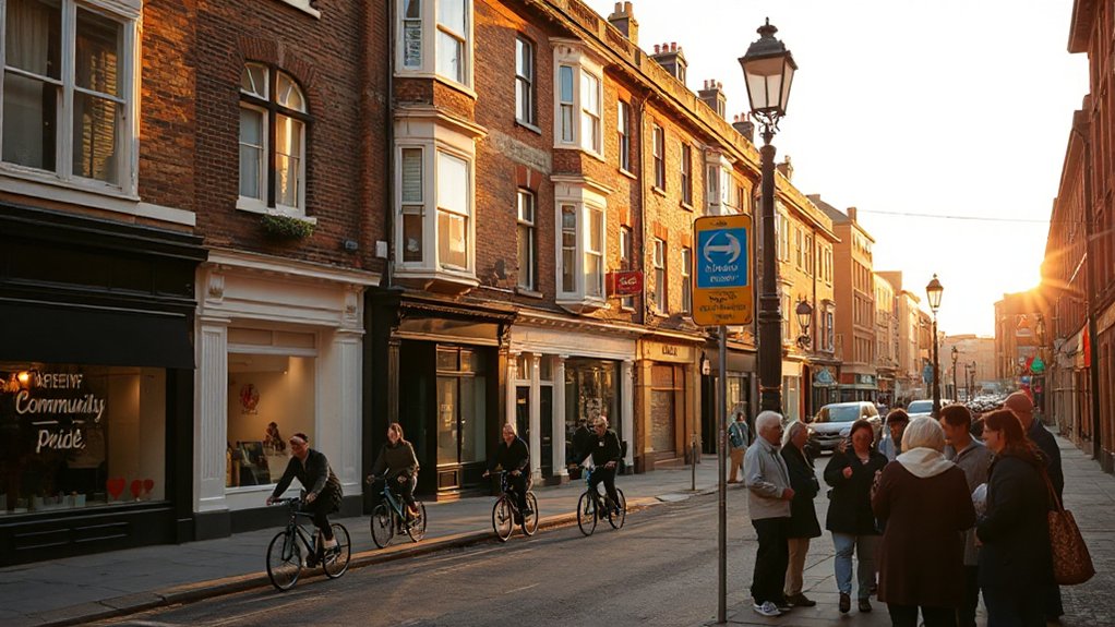
Car and bike infrastructure in Leeds shapes everyday mobility with evidence-driven improvements and policy aims. You’ll see a growing network of bike lanes that connect key neighborhoods, universities, and business districts, designed to reduce car trips and emissions.
Data indicate City Centre and Headingley corridors benefit from protected and advisory bike lanes, with intersections upgraded for safer cyclist priority. Road budgets emphasize 20 mph zones, traffic calming, and enhanced pedestrian crossings to complement cycling routes.
Parking regulations around central areas discourage car dominance while supporting first-mile accessibility for cyclists and buses. Maintenance schedules prioritize pothole repair and surface quality on arterial routes, boosting reliability for freight and commuters alike.
In planning terms, Leeds markets safer, more predictable corridors for efficient, low-carbon travel.
Parks and Green Space: The City’s Best Outdoor Spots
From bustling city parks to tranquil wetlands, Leeds offers a diverse range of green spaces that support health, biodiversity, and urban resilience. These areas are mapped by size, accessibility, and ecosystem value to guide policy decisions and funding.
In data terms, parks operate as multi-use assets, with quantified metrics for canopy cover, flood mitigation, and recreational capacity. Urban forestry programs expand tree equity, while community gardening channels empower local stewardship and food security.
Regional planning prioritizes connectivity between Threatened-Site Ecosystems and urban cores, boosting access for underserved wards.
Policy implications focus on maintenance budgets, biodiversity targets, and seasonal accessibility.
Outcomes hinge on coordinated funding, transparent auditing, and engagement with residents to optimize green space distribution across Leeds.
Housing Market Snapshot: Prices, Types, and Trends
Housing market in Leeds is shaped by steady price growth, a mix of terraced and semi-detached homes, and a shift toward higher-density new builds.
With median values rising faster in central wards than outer neighborhoods. In 2026, you’ll see continued price momentum, but with varied trajectories by neighborhood—central areas outperforming outlying suburbs.
Prices per square metre are higher near Leeds City Centre, while outer districts offer more affordable entry points, influencing housing affordability for first-time buyers and renters.
Market demand remains strongest for well-connected, amenity-rich locations with redevelopment potential.
New-build and retrofitted period stock balance supply, supported by policy incentives and financing options.
Policy-backed aims to boost density while preserving character, guiding zoning, allocation, and affordable housing provisions to address affordability gaps.
Safety, Community, and Local Identity: What Residents Say
Safety, community cohesion, and local identity in Leeds are shaped by a mix of crime trends, resident engagement, and place-making initiatives that residents repeatedly cite as defining features of their neighborhoods.
You’ll notice that neighborhood traditions and consistent participation in local events correlate with lower crime perceptions and higher trust in policing, according to city data and local council surveys.
In practice, residents back targeted street-neighborhood watch programs, well-lit public spaces, and data-informed policing that respects demographic diversity.
Community groups praise inclusive planning meetings, clear reporting channels, and funding for cultural hubs that host neighborhood traditions and local events.
These outcomes support policy goals: stable housing, safer streets, and stronger civic identity across Leeds’s varied districts.
Find Your Fit: Matching Your Priorities to Leeds Neighbourhoods
To tailor Leeds living to your priorities, start by mapping what matters most—affordability, commute times, green space, schools, or nightlife—and then compare district-level indicators across the city. You’ll align choices with quantified data on housing costs, travel times, and school performance, anchored in council and ONS statistics.
Focus on Neighborhood amenities to gauge daily convenience, from grocery access to healthcare and leisure facilities. Local events calendars reveal community vibrancy and seasonal activity, aiding risk assessment for noise, traffic, and crowding.
Compare VIAs: transport links, park acreage, and air quality by area bands. Use policy guidance on affordable housing, school zoning, and local development plans to prioritize neighborhoods that best fit your required trade-offs and long-term stability.
Frequently Asked Questions
How Do I Balance Affordability With Area Quality in Leeds 2026?
To balance affordability with area quality, you should weigh property investment potential against commuting convenience, prioritizing districts with rising yields and solid transport links, while setting thresholds for school quality, crime rates, and council-managed development.
Which Neighborhoods Best Suit First-Time Buyers in Leeds?
First-time buyers find favorable, family-friendly neighborhoods: Beeston, Burley, and Bramley offer affordable apartments and growing value. You’ll enjoy affordable apartments near parks and trendy cafes, with data-driven indicators showing steady wait times and sensible price trends.
How Safe Are Leeds Districts After Dark in 2026?
Nightlife safety varies by district, but you’ll find well-lit streets and police presence after dark. Public transport accessibility remains strong, with late-night options. Data suggests steady reductions in incidents; stay aware, plan routes, and trust official advisories.
Where Are the Best Value Family-Friendly Schools in Leeds?
Indeed, you’ll find the best value family-friendly schools in Leeds where rankings and school ratings meet solid community amenities; you’ll want to compare wraparound services, attainment data, and local policy support driving stable budgets across neighborhoods.
What Are the Long-Term Housing Trends in Leeds Neighborhoods?
You’ll see urban regeneration shift demand toward city-center and fringe areas, while housing affordability tightens for newcomers. You’ll track trends: steady price growth slows, rental yields improve, and policy incentives steer long-term investment across Leeds neighborhoods.
Conclusion
You want options that balance buzz with calm, and Leeds delivers—city-center access without losing family space. You’ll see student hubs next to green, suburban calm next to rapid transit. The data show rising rents near Headingley and steady prices in Roundhay, with Beeston and Burley offering affordable pockets close to action. If you value bikes and community, you’ll choose neighborhoods that pair policy-driven planning with real-world lived experience, ensuring sustainability without sacrificing connection. Your best-fit lies at the overlap.